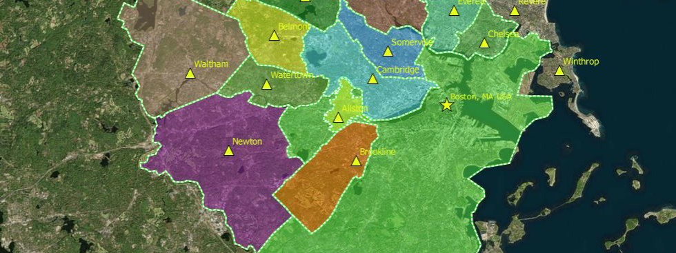
Using GIS for Problem-Focused Mapping
earthDECKS was established with a unique mission to harness our collaborative intelligence to address major environmental challenges that require breaking down silos, not only with interactive geographic maps but also with meta-maps, as shown below: Image Credit: Mapbox, Wired Above is a meta-map showing how Open Street Map was crowd-sourced, from 2004 on, with more than a million cartographers … Continue reading Using GIS for Problem-Focused Mapping
